The Seine River
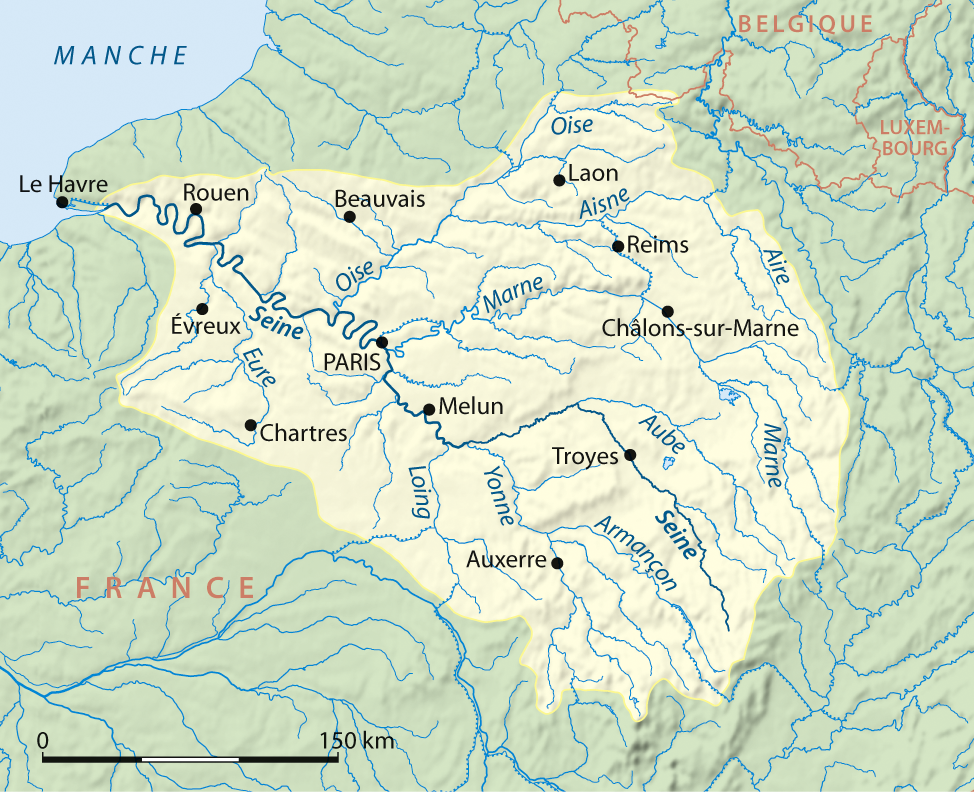
The Seine is a French river, 777 kilometres long, flowing through the Paris Basin past Troyes, Paris, Rouen and Le Havre. Its source lies at an altitude of 446 metres at Source-Seine, on the Langres plateau in Côte-d’Or. Its course runs broadly from south-east to north-west. It flows into the English Channel at the Hode meridian, near Le Havre. Its drainage basin, covering 78,650 km², is home to nearly 30% of the country’s population. It is managed by the Seine-Normandie water agency.
The course of the Seine
The Seine is divided into five parts, from upstream to downstream:
- the Petite Seine, from the source to Montereau-Fault-Yonne;
- the Haute Seine, from Montereau-Fault-Yonne to Paris;
- the crossing of Paris;
- the Basse-Seine, from Paris to Rouen;
- the Seine-Maritime, from Rouen to the sea.
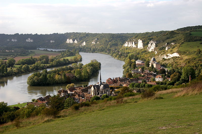
The gentle slope of the Seine valley, in Île-de-France and Normandy, has created many deep meanders. For the same reason, the tide is felt over a hundred kilometres inland, up to Poses (the furthest downstream dam), and until recently caused the tidal bore known as the « mascaret », called barre in Normandy.
The Seine is a major waterway linking Paris to the English Channel. Two of France’s largest river ports are on it: Paris (Gennevilliers port) and Rouen, which is also a major seaport for transshipment (the leading grain port in Europe). Upstream of Paris it is navigable as far as Nogent-sur-Seine, an important grain port. Other notable river ports: Limay-Porcheville (Mantes-la-Jolie area) and Montereau (sites run by the Port of Paris authority).
source Wikipedia